



Fresh Low Pressure Around Aug 24 Threatens More Rain; North Odisha May Remain in Flood Grip Till August-End| Exclusive
Key Points
Bhubaneswar: Odisha’s flood misery may not end with the current spell of heavy rain.
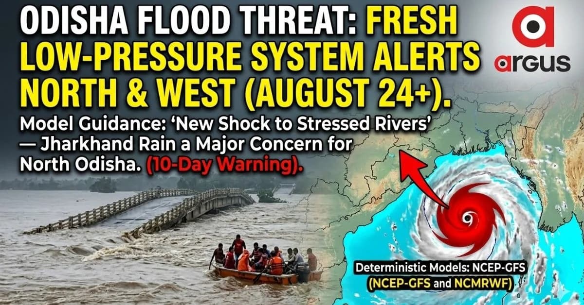
A glance at the latest deterministic weather models signals the formation and westward movement of another low-pressure system around August 24, raising the possibility of a fresh spell of heavy rainfall across northern, interior and western Odisha.
At nearly a 10-day lead, the exact track and intensity remain subject to change. Yet the emerging signal is significant because both the NCEP-GFS and NCMRWF model guidance place Odisha within the broader zone of moisture convergence associated with the system.
Agree To Disagree

📱 Get Argus News App
✨The key difference is in the location of the low-pressure centre. The GFS keeps the system closer to the North Bay and Odisha coast, while the NCMRWF solution takes it farther inland towards Jharkhand.
But the divergence does not remove the rainfall threat. In both scenarios, northern and interior Odisha remain exposed to strong monsoon moisture.
That could become particularly consequential for North Odisha, where river basins are closely linked to rainfall over Jharkhand.
Jharkhand rain can become Odisha’s flood problem
Heavy rainfall in Jharkhand can rapidly increase runoff into river systems flowing into northern Odisha.
The Subarnarekha is the clearest example. Rain over its upper catchment can increase downstream flows, putting Balasore’s Jaleswar, Bhograi, Basta and adjoining low-lying areas at risk.
The Baitarani system presents another vulnerability. Heavy rain over the Keonjhar plateau and adjoining upper catchments can produce rapid runoff towards Anandapur and Akhuapada before the flood wave moves into Bhadrak and Jajpur.
The Brahmani system also remains sensitive to heavy rainfall over the Sankh and South Koel catchments. Large inflows into reservoirs and downstream channels can complicate water management across parts of Sundargarh, Angul and downstream areas.
Misery For Baleswar To Continue
For Baleswar, the problem is compounded by geography. The district is exposed simultaneously to the Subarnarekha, Budhabalanga and Jalaka systems. Low-lying terrain, high tides and restricted drainage can turn a river flood into prolonged waterlogging.
The Jalaka remains a particular concern around vulnerable stretches such as Mathani, where embankment breaches and backwater effects have historically aggravated flooding.
Why another system could prolong the crisis
The biggest concern is not simply another bout of rain. It is the timing of that rain.
Several catchments in northern Odisha have already received repeated heavy rainfall. When soil moisture is high and river levels remain elevated, a fresh downpour produces faster surface runoff because the ground has limited capacity to absorb additional water.
This creates a potential chain reaction: heavy rain over Jharkhand and northern Odisha → rapid catchment runoff → rising river levels → reservoir inflow pressure → downstream flooding and prolonged waterlogging.
The August 24 model signal therefore needs to be watched less as an isolated rainfall event and more as a possible second shock to already stressed river systems.
North and western Odisha remain the critical zone
The emerging model overlap puts Balasore, Mayurbhanj, Bhadrak, Keonjhar and Jajpur among the districts requiring close monitoring.
If the system follows the more inland NCMRWF scenario, the rainfall footprint could expand across Sundargarh, Jharsuguda, Sambalpur, Deogarh and Bargarh.
That makes the coming 7–10 days critical for flood management.
Authorities may need to inspect vulnerable embankments, clear drainage bottlenecks, review flood-shelter readiness and pre-position rescue equipment in historically vulnerable blocks. Communities in low-lying areas should also remain prepared for sudden evacuation if river levels rise rapidly.
The situation in Sambalpur carries a different risk. Heavy rainfall over the upper Mahanadi catchment can increase inflows into Hirakud Reservoir, potentially creating difficult decisions over reservoir storage and downstream releases.
August may end with a familiar problem
The forecast does not yet justify declaring another major flood, particularly because a 10-day deterministic forecast can change substantially as the system develops.
But it does provide an important early warning.
If the low pressure forms as currently indicated and tracks through the North Bay–Jharkhand–Odisha corridor, northern Odisha could face another round of heavy rainfall while its river systems are still recovering from previous flooding.
In that scenario, the flood story may not end in mid-August.
It could become a lingering August problem, with saturated
catchments, elevated rivers and repeated rainfall events keeping parts of
northern Odisha vulnerable well into the final week of the month.
Also Read: Baleswar Flood Crisis Set to Deepen Next Week as Jalaka River Smashes All-Time Record | Exclusive
Related Topics
Explore more stories