



15 Earthquakes in 24 Hours: After Nepal Disaster, Is India’s Seismic Activity Sending a Warning to Odisha? | Exclusive
Key Points
Bhubaneswar: The Nepal catastrophe, initially presumed to have been triggered by an earthquake and later traced to a massive ice-rock collapse in the high Himalayas, has now turned into one of the region’s gravest natural disasters, with the death toll touching at least 955 and more than 4,400 people still missing.
And now, right here in India, the National Center for Seismology (NCS) is flashing another signal that demands attention.
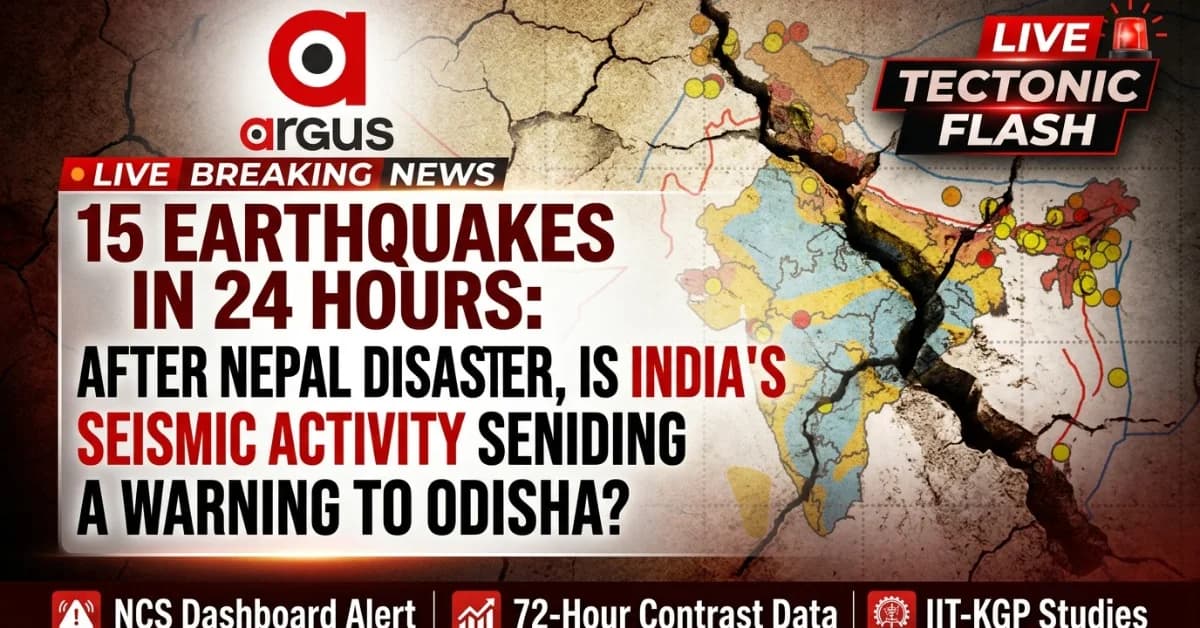
Its latest earthquake dashboard shows a striking burst of seismic activity, with around 15 earthquakes recorded over the past 24 hours, broadly ranging from Magnitude 2.9 to around 4, spread across Maharashtra, the Himalayan belt, Northeast and adjoining regions. The NCS listing includes repeated tremors around Nashik, alongside events in Sikkim, Uttarakhand, Ladakh and adjoining regions.
Individually, most of these are small earthquakes and do not constitute a prediction of any impending major event. But collectively, they offer a live reading of a restless Indian Plate – and that makes understanding nature's language more important than ever.

📱 Get Argus News App
✨The question is not whether these tremors are signalling a catastrophe; science cannot make that prediction.
The question is what the present pattern of tectonic activity is telling us about the seismic environment at our doorstep , and whether Odisha and the East Coast are prepared for what the earth may eventually throw at them.
Because sometimes, the most important warning is not the tremor itself but our failure to read what the ground is saying.
The
Contrast: 72 Hours of Tectonic Movement
To
see this contrast in real time, one only needs to look at the
official data from the National Center for Seismology (NCS)
over a single 72-hour window heading into September 1,
2026:
Last 72 Hours of Seismic Activity in India
| Seismic
Region |
Earthquakes
Recorded |
Magnitude
Range |
Key
Observation |
| North
Himalayan Arc |
25+ | M
2.2–4.9 |
Persistent
seismic activity across the Himalayan belt, including
Uttarakhand, Sikkim, Jammu & Kashmir and adjoining regions |
| Maharashtra
Belt |
8+ | M
2.1–3.7 |
Repeated
tremors around Nashik,
indicating an active local earthquake sequence/swarm |
| Bay
of Bengal |
1 | M
3.8 |
A
comparatively isolated event near Diglipur,
Andaman & Nicobar Islands |
The
difference is staggering.
The North Himalayan Arc is alive
with motion, logging dozens of mild-to-moderate quakes across Jammu &
Kashmir, Uttarakhand, Sikkim, and Arunachal Pradesh. Simultaneously,
Maharashtra has been locked in an active earthquake swarm,
with the ground around Nashik popping and fracturing multiple times a
day.
Comparatively,
the massive expanse of the Bay of Bengal reported just a
single, isolated event – a minor Magnitude 3.8 tremor recorded
on August 20 near the Andaman chain.
What do these two extremes mean?
What the Activity Means There: As per Minsitry of Earth Sciences report tabled in Parliament, studies by sesimologists say, in the North and West, the earth is actively breathing. The frequent, small quakes act as a natural safety valve, bleeding off tiny fractions of tectonic stress along minor faults so it doesn't pool into a catastrophic event.
Then What the Silence Means Here: In the Bay of Bengal and inland Odisha, the plates are locked. The silence means the regional crust is refusing to budge for minor adjustments, tightly trapping elastic energy under millions of tons of ancient bedrock and river sediment.
The Three Indias: A Profile in Seismic Risk
|
Seismic Region |
Seismic Risk Zone |
Primary Geological Driver |
Seismic Character |
Key Risk Feature |
|---|---|---|---|---|
|
North Himalayan Arc |
Zone V & IV – Highest seismic risk |
Continental plate collision — Indian Plate pushing into the Eurasian Plate |
Frequent small-to-moderate earthquakes along active faults |
Continuous tectonic stress and potential for major earthquakes |
|
Maharashtra Belt |
Zone III & II – Moderate to low risk |
Intraplate seismicity, including fluid-related fault activation |
Repeated local tremors and earthquake swarms, particularly around Nashik |
Monsoon-related groundwater pressure can contribute to movement along pre-existing fractures |
|
Bay of Bengal & Odisha |
Zone III (coastal) & Zone II (parts of inland Odisha) |
Intraplate deformation, deep-seated fractures and regional plate-boundary influences |
Comparatively sparse and intermittent seismic activity |
Long periods of relative quiet can pose seismic risk challenging |
1. The North Himalayan Arc (The Open Crashing Boundary)
This is India’s most dangerous zone. The entire region sits on a active plate boundary where the Indian Plate is violently crashing into the Eurasian Plate at a speed of 4 to 5 centimeters every year. Because the boundary is so massive, it creates continuous, daily micro-quakes. While it remains vulnerable to a future "Big One," the daily tremors prove that the crust is flexible enough to vent pressure.
2. The Maharashtra Belt (The Fluid Fracture Network)
The sudden clusters of quakes around Nashik are driven by hydro-seismicity. When heavy monsoon rains saturate the Deccan volcanic terrain, water seeps kilometers deep into buried micro-cracks. This fluid builds intense pore pressure, acting as a lubricant that forces minor faults to slip. It creates a noisy, alarming rumble, but it rarely accumulates enough deep energy to cross a dangerous Magnitude 6.0.
3. The Bay of Bengal and Odisha (The Evolving Trap)
Historically treated as a geologically dead block, pioneering research from IIT Kharagpur has revealed a shifting dynamic. As India is squeezed from the sides, immense intraplate stress is pooling beneath the ocean floor, reactivating ancient, deep-seated marine fractures.
Because the northern Bay of Bengal is smothered by the Bengal Fan – the largest sedimentary blanket on Earth—the crust is weighed down and hyper-rigid. It cannot bend or slide easily like Nashik. It stays completely quiet until the strain crosses a massive breaking point, releasing energy all at once in sudden, severe offshore ruptures.
Flashback: The Capital Shock
On the night of May 21, 2014, Bhubaneswar got a reminder that Odisha's reputation as a relatively quiet seismic landscape does not mean immunity from earthquakes.
At around 9.52 pm, a Magnitude 6.0 earthquake struck the Bay of Bengal. The epicenter was roughly 310 km southeast of Bhubaneswar in the Bay of Bengal at a depth of about 40–47 km.
The tremor was strongly felt across Bhubaneswar and several parts of eastern India. People rushed out of buildings as the shaking rattled the region. There was no tsunami warning and no major disaster on land, but the psychological impact was significant.
For Odisha, the message was bigger than the earthquake itself:
The Bay of Bengal is not a seismically dead ocean. And 12 years later, that message deserves another look.
Why the Trend is Not a Good Sign for Odisha: IIT Kharagpur Adds to The Story
The 2014 Bay of Bengal earthquake remains important precisely because it demonstrated that significant seismic deformation can occur within what appears to be a relatively quiet intraplate setting.
A groundbreaking study released in June 2026 by researchers at the Department of Geology and Geophysics at IIT Kharagpur officially warns that the Bay of Bengal is transforming into a potential source zone for future large-scale earthquakes.
Seismologists point out that while the public assumes the East Coast is perfectly safe, the continuous northeastward compression of the Indian subcontinent is causing massive stress to pool beneath the ocean floor.
Experts, in the study, explain that this strain is beginning to break open ancient, deep-seated fractures and dormant faults beneath the seabed.
On the above backdrop, rather than safe, slow releases like the swarms in Maharashtra, these structural weaknesses are quietly locking up, posing a long-term risk of triggering a sudden "moderate-to-strong" earthquake that could catch the mainland completely off guard
When you take this historical data and tectonic behavior into account, the contrast between the extra-active West and the silent East points to a dangerous regional trend.
This silent accumulation of pressure is a severe hazard for Odisha due to two critical technical realities:
The Smart City Blindspot: Alluvial Liquefaction
If a deep-seated fracture snaps along the Mahanadi Graben (Rift Valley)—the major inland fault line cutting directly through Sambalpur, Angul, Cuttack, and Bhubaneswar – Odisha’s modern infrastructure will face an architectural crisis.
Cyclic Earthquake Shaking↓Water Pressure Spikes in Sand↓Ground Turns to Liquid Mud↓Foundations Tilt / Underground Lines Fracture
While the Bhubaneswar Smart City core sits on stable laterite rock, massive urban expansion has pushed critical utility grids and heavy transit lanes directly into low-lying floodplains. According to the World Bank-backed Local Resilience Action Plan (LRAP), 1% of Bhubaneswar's municipal core is highly susceptible to sudden liquefaction, while an additional 19% faces moderate-to-high risk.
In Cuttack, trapped between two major rivers, the threat is amplified. The top 15 meters of soil consist of saturated fine sands. A strong inland rupture would trigger a high Liquefaction Potential Index (LPI > 15), causing the ground to temporarily behave like jelly, shifting foundations, tilting buildings, and severing buried fiber-optic cables.
Why the NCS Map Should Make Odisha Look Again
On the above backdrop, the latest NCS map offers a powerful visual lesson – on what the nature is saying.
Maharashtra is noisy.
The Himalayas are noisy.
The Northeast is noisy.
The
Odisha coast is comparatively quiet. Reading the silence, noting the
view of seismologists, Odisha needs to be remian prepared to stay
resilent in the nature's moment of going moody.
Also Read:Nepal’s Next Himalayan Deluge: China’s Simulation Clock Points to September 1| Special Report