



Weather Alert / Low‑Pressure Likely to Form over Bay of Bengal by October 23
Key Points
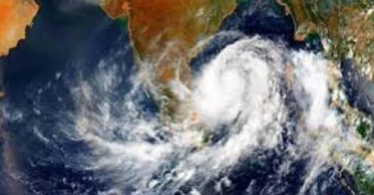
IMD forecasts a low‑pressure area over the Bay of Bengal by October 23 as an active cyclonic circulation moves northwestward from the Gulf of Thailand toward the Andaman Sea.
Bhubaneswar, Oct 21: The India Meteorological Department (IMD) has indicated that a low‑pressure area is likely to form over the southeast and adjoining east‑central Bay of Bengal by October 23, signalling possible weather changes across coastal regions.
According to the IMD’s morning bulletin issued at 5:30 AM, an upper‑air cyclonic circulation persists over the Gulf of Thailand and adjoining areas of Thailand and Myanmar, remaining active in the region.
The system is expected to move into the north Andaman Sea later today and subsequently shift northwestward.
Also read: Odisha Gets New Rail Route as Puri-Badampahar Express Approved

📱 Get Argus News App
✨Under its influence, a low‑pressure area may develop over the southeast and adjoining east‑central Bay of Bengal by October 23. Meteorologists anticipate that once formed, the system could intensify further while moving northwestward, potentially affecting weather patterns along the eastern coast.
The IMD has stated that it is closely monitoring the system’s progress and will issue updates as conditions evolve. Fishermen and coastal residents have been advised to stay alert and follow official forecasts.
This development marks the beginning of another active phase
in the post‑monsoon season, with the Bay of Bengal once again
showing signs of cyclonic activity.
Related Topics
Explore more stories