



Weather Alert / Low-Pressure Area Likely Over Bay of Bengal; Odisha Braces For Heavy Rain
Key Points
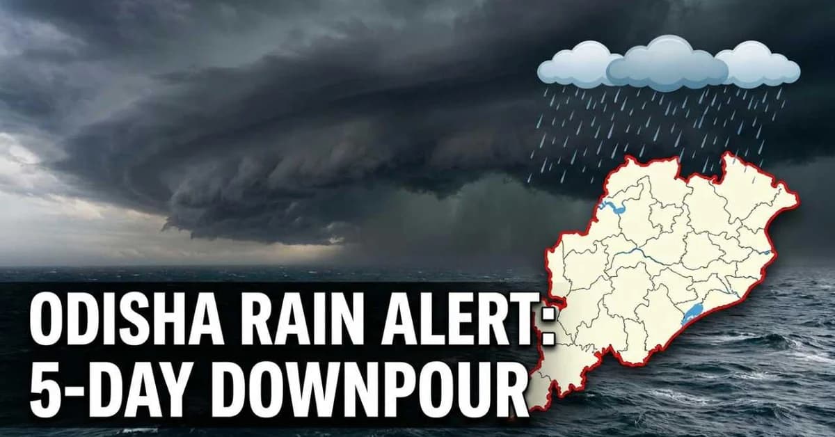
Bhubaneswar, Aug 8: A low-pressure area is likely to form over the Bay of Bengal within the next 24 hours under the influence of an existing cyclonic circulation, raising the likelihood of widespread rainfall across Odisha over the coming days, the India Meteorological Department (IMD)said on Saturday.
According to the IMD, the evolving weather system is expected to trigger heavy to very heavy rainfall in several parts of the State over the next two days, while intermittent rain and thunderstorms are likely to persist for at least five days. The weather office has advised district administrations and residents to remain vigilant as the system develops over the north-west Bay of Bengal.
An Orange Warning has been issued for Keonjhar, Mayurbhanj, Sambalpur, Sundargarh, Jharsuguda and Bargarh, where heavy to very heavy rainfall is expected at isolated places. A Yellow Warning has been sounded for Jagatsinghpur, Bhadrak, Balasore, Jajpur, Dhenkanal, Angul, Deogarh, Boudh, Sonepur, Balangir and Nuapada, cautioning against thunderstorms, lightning and moderate to heavy showers.
The IMD has indicated that rainfall activity is likely to
continue until August 11, with isolated spells of intense precipitation that
could lead to waterlogging in urban areas and a rise in water levels of smaller
rivers and streams. Authorities have advised people living in low-lying areas
to remain alert and avoid unnecessary travel during periods of heavy rain and
thunderstorms.
Also Read: Smart City, Flooded Streets: Bhubaneswar’s Monsoon Woes

📱 Get Argus News App
✨According to the IMD’s latest bulletin, the cyclonic circulation persisted over the north-west Bay of Bengal and adjoining coastal areas. Meteorologists expect it to consolidate into a low-pressure area within the next 24 hours, which could further enhance monsoon activity over Odisha. Coastal, northern and western districts are likely to experience the heaviest rainfall, accompanied by gusty winds and lightning at isolated locations.
The ongoing southwest monsoon has already delivered above-normal rainfall across Odisha this season. Official data show that the State received 814 mm of rainfall between June 1 and August 7, compared with the normal seasonal average of 643.6 mm, representing a 26 per cent surplus. The IMD has urged farmers, fishermen and the general public to closely follow official weather bulletins as the system evolves.
Related Topics
Explore more stories