



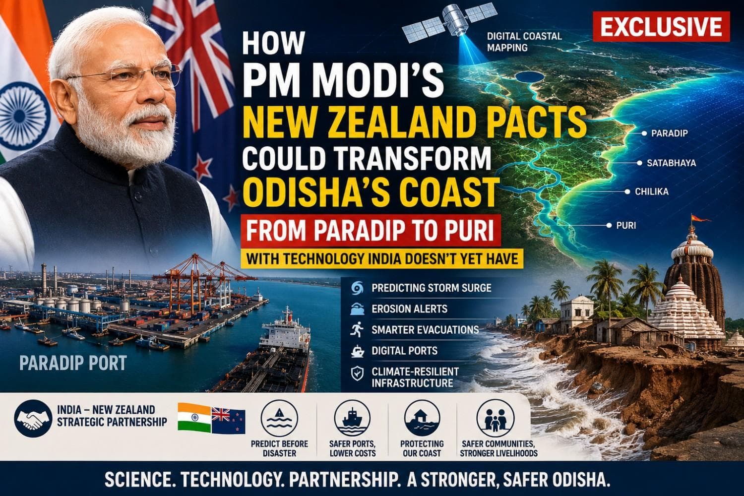
How PM Modi's New Zealand Pacts Could Transform Odisha's Coast from Paradip to Puri with Technology India Doesn't Yet Have| Exclusive
Key Points
Bhubaneswar: In the
final leg of his three-nation Indo-Pacific tour, Prime Minister Narendra Modi
on Saturday elevated India-New Zealand ties to a Strategic Partnership,
signing a series of landmark agreements covering maritime cooperation,
hydrography, disaster risk management, logistics, tourism and agriculture.
The visit, the first by an Indian Prime Minister to New Zealand in four
decades, also unveiled a Roadmap to 2030 aimed at deepening cooperation across
critical sectors.
While many of these agreements have national significance, three
stand out for Odisha. Not because the State lacks disaster preparedness or
ports, but because New Zealand brings capabilities that Odisha – and indeed
much of India – has yet to deploy at scale.
If translated into projects, these agreements could fundamentally
reshape how Odisha protects its coastline, expands its ports and prepares for
climate-driven risks.

📱 Get Argus News App
✨1. From Cyclone Response to Predicting the Coast: The New Zealand Edge
Odisha is globally recognised for saving lives during cyclones. Its
evacuation system, cyclone shelters and disaster management model are
considered among the best in the world. However, the next frontier is not
evacuation – it is predictive coastal science.
New Zealand is a global leader in high-resolution coastal digital
twins, integrating LiDAR surveys, multibeam seabed mapping and hydrodynamic
modelling to predict storm surge, tsunami inundation, shoreline erosion and
infrastructure vulnerability years before disasters occur.
For Odisha, this means moving beyond forecasting cyclone tracks to
answering questions such as:
- Which stretch of Satabhaya is likely to disappear over the next decade?
- Which embankment near Kendrapara is most vulnerable during a Category-5 cyclone?
- Which evacuation road in Puri could be submerged first?
- Which fishing harbour may become unusable due to sediment movement?
Today, such integrated predictive capability does not exist at the state
level.
2. One Digital Coastline from Paradip to Puri
India traditionally maps land and sea separately. Survey agencies map
terrestrial areas while hydrographic agencies map the seabed.
New Zealand's hydrography model integrates both into a seamless
three-dimensional coastal system.
For Odisha, this could enable the creation of a digital model covering
- Paradip Port
- Dhamra Port
- Devi river mouth
- Mahanadi delta
- Bhitarkanika
- Satabhaya
- Chilika inlet
- Puri coastline
Such integrated mapping would improve coastal planning, erosion
monitoring, navigation safety and infrastructure development in ways that
current mapping systems cannot.
3. Smarter Paradip Through Digital Hydrography
Paradip is among India's busiest major ports and continues to expand as
the country's eastern maritime gateway.
Yet one of its biggest recurring challenges is channel maintenance and dredging.
New Zealand possesses decades of expertise in
- real-time seabed monitoring,
- sediment transport modelling,
- harbour morphology,
- digital navigation systems.
If this expertise is shared under the hydrography and maritime
cooperation agreements, Paradip could gradually shift from periodic dredging
decisions to data-driven predictive channel management, reducing
operational costs, improving vessel movement and enhancing port efficiency.
This represents a technological leap rather than routine cooperation.
4. Protecting Satabhaya Before It Disappears
Satabhaya has become one of India's most visible examples of climate-driven coastal erosion.
Current interventions are largely reactive.
New Zealand follows a different model.
Its coastal planning uses long-term shoreline evolution models and sea-level-rise
projections to identify future erosion hotspots decades in advance.
For Odisha, this could transform coastal management from emergency
response to anticipatory planning, allowing authorities to identify
vulnerable villages, roads and embankments before irreversible damage occurs.
5. Climate-Proofing Coastal Infrastructure
Odisha is investing heavily in
- ports,
- fishing harbours,
- coastal tourism,
- industrial corridors,
- marine infrastructure.
New Zealand designs coastal infrastructure using projected sea-level
rise and future climate scenarios rather than historical weather records alone.
This approach could help Odisha ensure that infrastructure built today
remains resilient over the next 30 to 50 years, reducing future adaptation
costs.
6. Smarter Evacuations, Not Just Faster
Odisha already evacuates millions during severe cyclones.
New Zealand adds another layer of science.
Its hazard models simulate
- road failures,
- inundation timing,
- evacuation bottlenecks,
- shelter accessibility,
- post-disaster accessibility.
This allows authorities to optimise evacuation routes instead of relying
solely on predetermined plans.
Such capabilities could significantly strengthen Odisha's already
acclaimed disaster management system.
7. Maritime Security with Economic Value
The maritime cooperation agreements are not confined to defence.
Improved hydrographic surveys, nautical charting and information sharing can benefit
- merchant shipping,
- fishing vessels,
- offshore infrastructure,
- coastal logistics.
With Paradip, Dhamra and Gopalpur emerging as key maritime assets,
Odisha stands to gain from safer navigation and better maritime domain
awareness.
The Final Word
The India-New Zealand agreements are not merely diplomatic documents;
for Odisha, they offer access to next-generation coastal intelligence.
If implemented effectively, they could help the State move beyond being
India's benchmark in cyclone response to becoming its leader in predictive
coastal science, digital maritime infrastructure and climate-resilient planning.
From Paradip's navigation channels to Satabhaya's disappearing
shoreline and Puri's vulnerable coast, the partnership has the potential to
introduce technologies that Odisha currently lacks – integrated land-sea
digital mapping, advanced hydrographic modelling, predictive erosion analytics,
digital port management and future-ready coastal planning.
For the people of Odisha, this could mean safer coastal communities,
smarter evacuations, more resilient infrastructure and stronger livelihoods.
For the government, it presents an opportunity to build the next generation
of disaster resilience and maritime infrastructure, ensuring that the
State's coastline is not only better protected but also better prepared for the
challenges of the coming decades.
Also Read: PM Modi’s Australia Visit Delivers a Mining-Skills Windfall for Odisha: How 2 Landmark MoUs Create a Global Talent Pipeline from Bhubaneswar| Special Report
Related Topics
Explore more stories