



Severe Cyclone Akvan inches closer to Odisha-Andhra coast
Key Points
Severe Cyclone Akvan barrels towards the Odisha-Andhra coast, prompting a red alert. With winds up to 110 kmph expected, authorities are on high alert ahead of anticipated landfall.
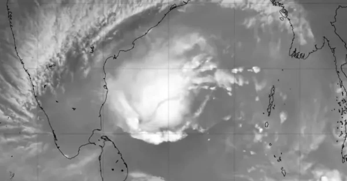
Bhubaneswar, Nov 19: A severe cyclonic storm, Akvan, continues to intensify over the west-central Bay of Bengal, prompting the India Meteorological Department (IMD) to issue a red warning for parts of Odisha, Andhra Pradesh and Yanam.
According to the latest weather bulletin, the cyclone has been moving northward at a speed of around 5 kmph over the past six hours. As of 2:30 am on November 19, the storm was centred near latitude 14.1°N and longitude 85.3°E over the west-central Bay of Bengal.
According to the report at 5:30 AM, Cyclone Akvan is moving forward at a speed of 12 kmph. The system is currently centred about 440 km from Kalingapatnam, 530 km from Gopalpur, and 590 km from Puri.
Also read: Odisha closes schools, Anganwadi centres in seven districts

📱 Get Argus News App
✨Meteorologists have forecast that Cyclone Akvan will continue moving in a north-northwesterly direction and is likely to cross the coast between Narsapur and Puri by the afternoon of November 20.
The landfall zone is expected to cover parts of north coastal Andhra Pradesh, Yanam and south Odisha.
At the time of landfall, sustained wind speeds are likely to range between 90 and 100 kmph, with gusts reaching up to 110 kmph. The weather system is expected to bring rough sea conditions, strong winds and heavy rainfall over vulnerable coastal regions.
In view of the potential impact, authorities have stepped up preparedness measures, while fishermen have been advised not to venture into the sea. Emergency response teams have also been placed on standby in vulnerable districts.
Related Topics
Explore more stories