



Odisha Weather: Rainfall to Decline, Heat to Intensify Over Next 3 Days
Key Points
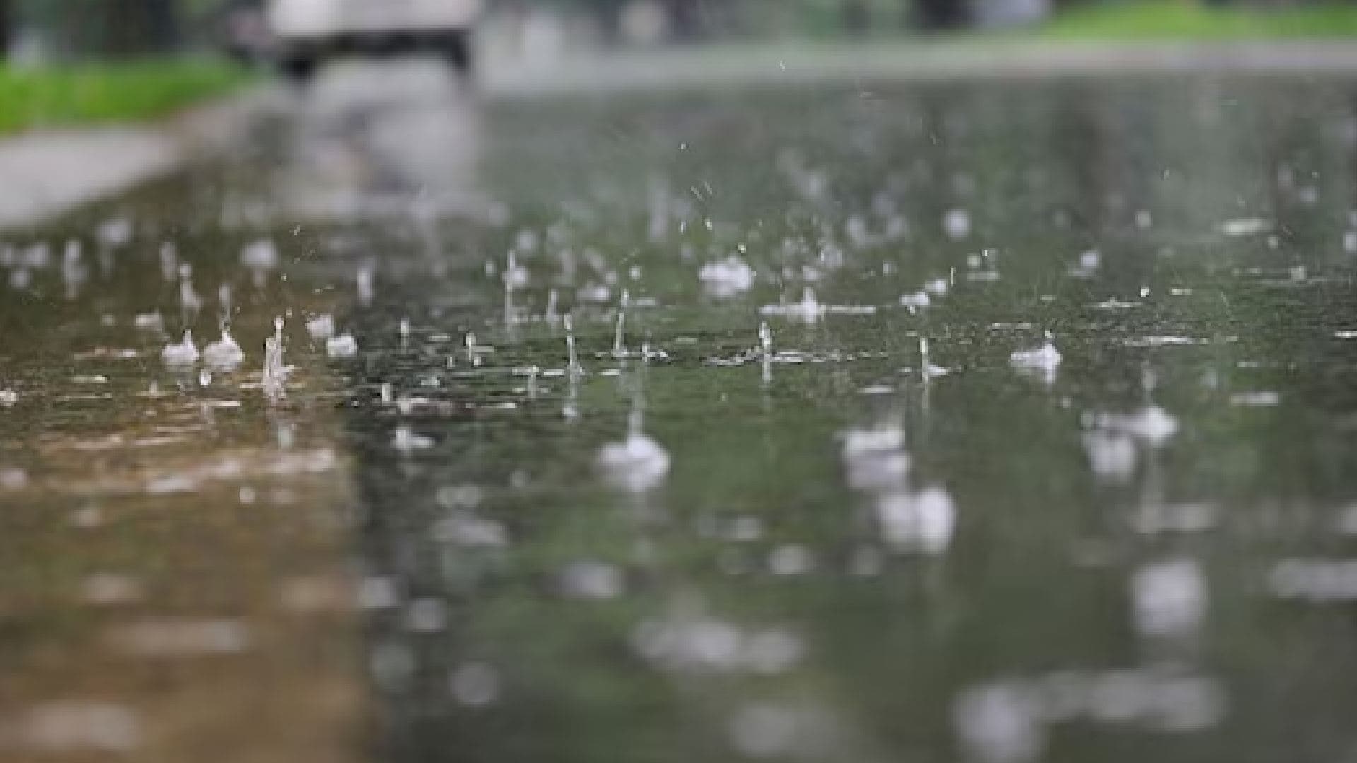
Odisha to see reduced rainfall over the next 3 days, with only light showers expected after August 6.
Daytime temperatures may increase by up to 2°C, reaching highs of 35–37°C in several districts. Odisha has recorded 616.1 mm of rainfall this season—10% above the normal average.
Bhubaneswar, Aug 2: The India Meteorological Department (IMD) has forecast a decline in rainfall activity across Odisha over the next three days, accompanied by a rise in daytime temperatures by up to 2°C. This shift comes after a spell of light to moderate rain across the state in the past 24 hours.
According to the IMD, Sundargarh district’s Hemgiri recorded the highest rainfall at 34 mm, contributing to the state’s cumulative rainfall of 616.1 mm so far this season. This figure is approximately 10% above the normal average, indicating a relatively healthy monsoon performance despite the upcoming dry spell.

📱 Get Argus News App
✨Meteorologists suggest that the reduction in cloud cover and moisture will lead to increased solar radiation, causing daytime temperatures to rise. Cities like Bhubaneswar, Cuttack, and Sambalpur may experience highs nearing 35–37°C, prompting health advisories for hydration and heat protection.
However, the IMD has indicated that light rainfall may return to isolated pockets of the state after August 6, particularly in coastal and northern districts.
read more Odisha news