



Calamity / Odisha Government Maps 139 Landslide Zones in Gajapati District
Key Points
Paralakhemundi and Mohana blocks have the highest risk zones.
Odisha government to launch master plan for landslide mitigation.
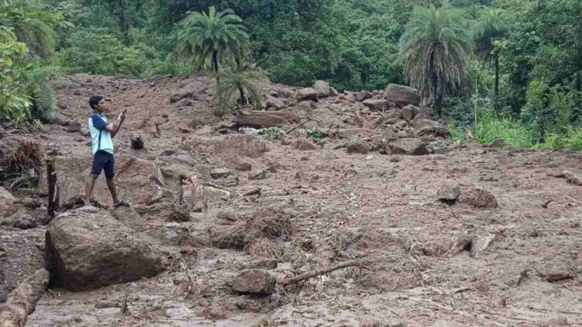
Paralakhemundi, Oct 27: Following multiple landslides triggered by low-pressure rainfall on October 1, the Odisha government has identified 139 landslide-prone areas in Gajapati district.
The highest concentration of vulnerable zones has been found in Paralakhemundi and Mohana blocks, with 27 locations each under the Rural Development Department. Additionally, eight sites under the Works Department in Paralakhemundi have also been flagged for potential landslides.

📱 Get Argus News App
✨The district administration has mapped out high-risk zones
across several blocks, including 14 villages in Mohana, 29 in Gumma, 20 in
Rayagada, 24 in R. Udayagiri, and 14 in Nuagada. Three locations along the
national highway passing through Gajapati have also been marked as
landslide-prone.
Also read: Cyclone Montha to Hit Coast on Oct 28, Rainfall Begins in Odisha
Recent incidents have disrupted life and mobility. On October 2, a landslide near Pekat in Rayagada block raised fears of people being trapped under debris. A landslide near a village of Katama Panchayat in Mohana block, landslides blocked access to over 20 villages. A similar event near Burukhata in Mahendragiri caused massive soil collapse.
In response, the state government is preparing a comprehensive master plan to mitigate landslide risks. Revenue and Disaster Management Minister Suresh Pujari stated that all hilly regions prone to landslides will be identified and safeguarded. The plan will include measures to prevent fatalities from falling rocks and ensure safer infrastructure.
The minister also acknowledged landslides as an emerging
challenge in Odisha and directed district collectors to elevate low-lying
roads, especially in Malkangiri, where flooding is frequent. The goal is to
enhance resilience and protect vulnerable communities from future disasters.