



Weather Update / Cyclone Set to Hit Andhra Coast, Odisha Braces for Impact
Key Points
Southern Odisha districts to face strong winds and heavy rainfall.
Ports on high alert; fishermen banned from sea till October 30.
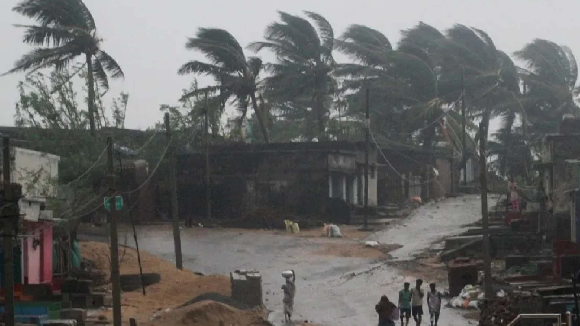
Bhubaneswar, Oct 25: A low-pressure system currently active over the Bay of Bengal is expected to intensify into a deep depression within the next 24 hours and further develop into a cyclonic storm by the morning of October 27.
According to meteorological forecasts, the cyclone is likely to make landfall between Kalingapatnam and Machilipatnam near Kakinada on the Andhra Pradesh coast during the evening or night of October 28.

📱 Get Argus News App
✨Wind speeds at landfall are projected to reach 90–100 km/h,
with gusts up to 110 km/h. Rainfall is expected to begin on October 27 and
intensify on October 28 and 29, accompanied by strong winds across southern
Odisha districts including Ganjam, Gajapati, Rayagada, Koraput, and Malkangiri.
Wind speeds in Odisha may range from 60–70 km/h, with gusts reaching up to 80
km/h. Light rain may continue on October 30.
Also read: Odisha Govt to Take Call on Leave Cancellation Tomorrow
The cyclone, currently located 1,040 km southeast of Gopalpur, has not yet been officially named. All ports in Odisha have been issued a Level 3 danger warning. Fishermen have been strictly advised not to venture into the sea between October 26 and 30 due to rough conditions.
Authorities are closely monitoring the system’s movement, which is gradually shifting northwestward. Preparations are underway to mitigate potential damage, with emergency protocols activated across vulnerable districts.
The India Meteorological Department (IMD) has warned that
the cyclone could intensify further before landfall, urging coastal residents
to remain alert and follow official advisories. Relief and evacuation plans are
being readied in anticipation of the storm’s impact.